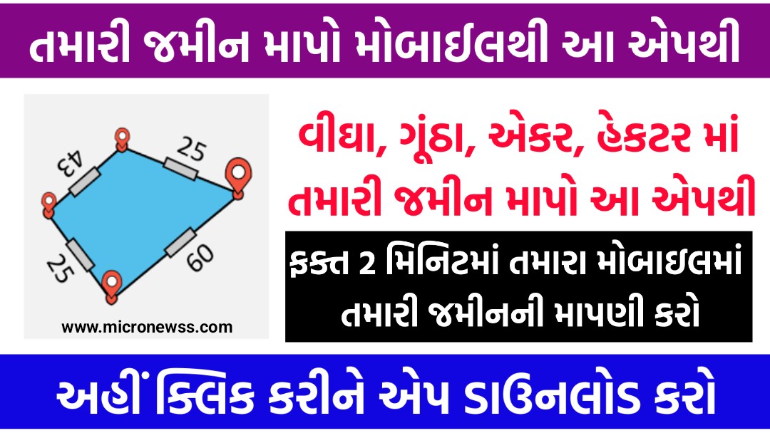
Easy Area App is a versatile measurement calculator app designed for measuring land area, distances, and perimeters using maps or images.
What is Easy Area App?
Easy Area App is a measurement calculator designed to measure land area, distances, and perimeters using either maps or images. It is particularly useful for individuals such as farmers, land surveyors, and property owners who need to calculate the area of irregularly shaped plots. The app offers a user-friendly interface and tools that allow users to measure areas on GPS maps or imported photos accurately, without the need for prior measurement knowledge.
Key Features of Easy Area App:
- Map-Based Measurements:
- Search and Locate: Users can search for the location of their land or field on the map, or use their current location to place the borders of the region they want to measure.
- Area Calculation: The app calculates the area of the selected region on the map with no need for prior measurement knowledge, ensuring accuracy using coordinate and spherical geometry.
- Photo-Based Measurements:
- Importing Photos: Users can import a photo of the land, field, or any structure, and then draw over the image to measure the area. This is useful when the boundaries have already been measured and the user needs to calculate the area based on those measurements.
- Scale Setting: After drawing the first line on the image, users provide the distance for that line to set the scale ratio, allowing for accurate area calculation.
- Manual Distance Input:
- Custom Measurements: Users can manually input land border measurements by selecting and editing the lengths of lines directly on the map or photo. This is particularly helpful when working with pre-measured boundaries.
- Unit Converter:
- Diverse Units: The app includes a comprehensive unit converter for areas and distances, covering imperial, metric, and various Indian land measurement units used across different states.
- Multiple Layers and Saved Measurements:
- Multi-Layer Functionality: Users can measure multiple areas on the same map by adding layers.
- Save and Share: Calculated measurements can be saved for future reference, and links to these saved areas can be shared with others for viewing or updating.
- User-Friendly Tools:
- Easy Editing: Points on the map can be easily added, selected, moved, or deleted with simple taps and gestures.
- Interactive Lines: Users can double-tap on any line to add new points, making it easy to adjust the area being measured.
- Detailed Measurement Output:
- Instant Calculations: The app displays point-to-point distances for each line created on the map, and areas are calculated instantly as changes are made.
- Separate Units: The app distinguishes between area and distance units, ensuring precise measurements.
Benefits of the Easy Area App:
The Easy Area App offers numerous benefits for users who need to measure land areas, distances, and perimeters accurately and efficiently.
1. High Accuracy:
- The app uses advanced coordinate and spherical geometry to ensure that measurements are highly accurate, making it reliable for both professional and personal use.
2. Ease of Use:
- The app is designed with a user-friendly interface that allows even those with little to no technical knowledge to measure areas and distances with ease.
3. Versatility:
- Users can measure land areas on maps or imported images, accommodating various types of land and structures. This flexibility makes it suitable for diverse needs, from farming to real estate.
4. Multiple Measurement Units:
- The built-in unit converter allows users to switch between various measurement units, including metric, imperial, and major Indian land units. This feature is especially useful for users dealing with different regional land measurement standards.
5. Customization:
- Users can manually input measurements and adjust points on the map or image, offering customization for precise calculations based on specific land boundaries.
6. Layer Management:
- The app supports multiple layers, allowing users to measure different areas on the same map without losing previous measurements. This is ideal for complex projects that require multiple area assessments.
7. Save and Share Options:
- Users can save their measurements for future reference and share them with others via a link, making it easier to collaborate on land measurement projects.
8. Offline Functionality:
- The app can perform measurements without an active internet connection once the required maps or images are loaded, making it convenient for use in remote locations.
9. Time-Saving:
- With quick and easy tools, users can measure land areas in a fraction of the time it would take using traditional methods, reducing the need for extensive on-site surveys.
10. Cost-Effective:
- The app eliminates the need for expensive surveying equipment or professional services, making land measurement more accessible and affordable.
These benefits make the Easy Area App a powerful tool for anyone needing to measure land accurately, whether for personal, agricultural, construction, or professional purposes.
Use Cases:
- Land Measurement: Ideal for farmers, land surveyors, and property owners who need to calculate the area of irregularly shaped plots.
- Construction Planning: Useful for architects and builders in planning and measuring construction sites.
- Geographic Analysis: Beneficial for geographers and environmentalists analyzing land use and coverage.
Important Link
| Easy Area App | Click Here |
| Official Website | Click Here |
Conclusion:
The Easy Area app simplifies land measurement tasks by offering accurate, easy-to-use tools for calculating areas and distances on maps or photos. Its ability to work with both digital maps and manually imported images, combined with its unit conversion capabilities, makes it a comprehensive solution for anyone needing precise land measurements.
